 NSosyal
The "mapmakers" of the Antarctic Science Expedition
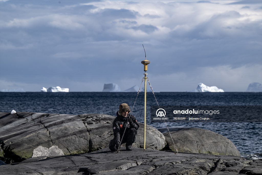
ANTARCTICA - FEBRUARY 19: Engineer First Lieutenant Faruk Yalcin from the Turkish General Directorate of Mapping is measuring with a device at Horseshoe Island during Turkiye's 7th National Antarctic Science Expedition in Antarctica on February 19, 2023. General Directorate of Maps affiliated to the National Defense Ministry of Turkiye and the Turkish Naval Forces Navigational Hydrography and Oceanography Department participated in the Antarctic Science Expedition and made measurements to determine the coordinates of the sea and land on the continent in the footsteps of Ottoman navigator, geographer and cartographer Piri Reis.
2023
Antarctic Science Expedition
Antarctica
expedition
Navigational Hydrography
Navigational Hydrography and Oceanography Department
Oceanography Department
Science
Science Expedition
scientific
Turkish General Directorate of Mapping
Turkish Naval Forces
Turkiye's 7th National Antarctic Science Expedition
600 x 399 px
1024 x 682 px
8069 x 5379 px
For purchase and detailed information, you can contact us via the e-mail address aisales@aa.com.tr
Information
- IdAA-31030599
- Date03.05.2023 13:02
- PhotographerŞebnem Coşkun
- CategoryNews
- Locationİstanbul-Turkey
- SourceAA
More From This Series


